When it’s dry enough I go running up the steep northern slopes of the Chilterns and along the top of the escarpment — and the ground is so dry at the moment I have no excuse not to.
I’d like to allude to these glorious views in the novel and probably the best (maybe only) way to do so is to have my characters walk or run up there. I wonder whether the metaphorical associations of looking out and surveying a view or of running along pathways might be too obvious for the points I might want to use in the plot. I might need to adjust my chronology a little as well if I refer to the swathes of fragrant bluebells that are flowering at the moment or the distant views of the yellow oilseed rape fields (although the colour yellow is a metaphor I’ve already used).
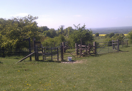
The photograph above is of a stile on the Ridgeway above the curiously-named Happy Valley. It’s my favourite point on that particular route as the only way is down. It’s on the Chequers Estate and not far from the house itself — quite often there’s a herd of state cows in the field. The distant field of oilseed rape is one very close to where I live and which has deposited yellow pollen everywhere (perhaps another country detail for the novel).
I ran up Coombe Hill on the same run, which is not quite the highest point in the Chilterns (beaten by a forested undulation in Wendover Woods) but with its recently restored monument is the de facto peak. A couple of days ago two huge guns were dragged up there from RAF Halton and a 21-gun salute was fired to celebrate the Royal Wedding.
I tried, as best I could, having run up most of the 150m or so climb, to take a set of photos of the panoramic view from the top of the hill on a nice day. This is going to become one of Kim’s favourite places — as an artist would appreciate.
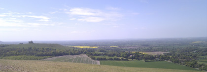
That way there be the mysterious circles of Avebury at the end of the Ridgeway, Wittenham Clumps and Cowley too (subjects of Paul Nash paintings).
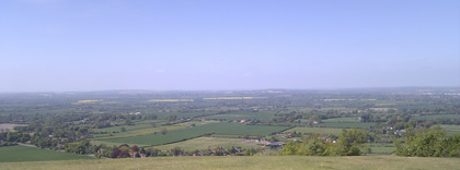
The Cotswolds are in the distance — looking across the heart of England here. This is also approximately where the anciently-named Three Hundreds of Aylesbury are located — going back to the Domesday book but still marked on Ordnance Survey maps.
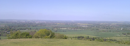
The Vale of Aylesbury — the resolution isn’t good enough (fortunately) to pick out Fred’s Folly (the monstrous office block in the centre of the town). Waddesdon Manor, Bicester and Banbury are in the distance.
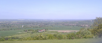
Wendover and, in the far distance, Milton Keynes and Leighton Buzzard. Such a lovely view that it could only be improved by having a 250mph railway line blasted through it. The proposed HS2 high-speed rail line is planned to go right through the centre of this photograph — essentially through the green fields in the middle. It will be on a big, obstrusive viaduct as it emerges into the Vale of Aylesbury. Construction is meant to start in about five years so this aspect of the view may be destroyed forever.
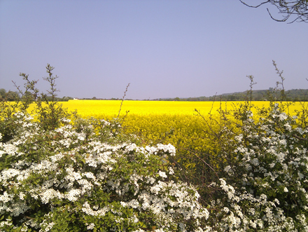
In keeping with my research on the roles of pubs in the community, our village had a Royal Wedding party on the green next to the pub and I spent about 8 hours there solidly drinking. I was told that I’d sat at the same table for four hours. I didn’t feel too wonderful the next day and decided to test the efficacy of ‘sweating it out’ by going for a short run and avoiding steep slopes with viewpoints (although the hills can be seen in the background). Even my hungover spirits were raised by the incredible block of yellow in the field I ran around — the field is enormous, nearly a mile long and a third of a mile wide and takes going on for 20 minutes for me to run round. The white of the hawthorn blossom and cow parsley offset the green of the vegetation and deep blue of the sky.
I’m trying to write a part of the novel in which Kim tries to decide whether she wants to live in London or the countryside. Maybe this might swing it for her?
